LAND MAPPING/GIS
At Jetech Realtors, we understand that location is a critical factor in real estate decision-making. Our Land Mapping and Geographic Information System (GIS) services are designed to provide you with comprehensive, accurate, and up-to-date information about land and property, enabling you to make well-informed decisions.
- Property Location Analysis: We use cutting-edge GIS technology to pinpoint the precise location of properties, offering you detailed insights into the neighborhood, nearby amenities, schools, transportation, and more.
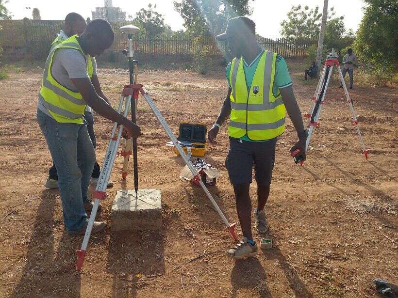
- Parcel and Boundary Mapping: We provide detailed parcel and boundary mapping services, helping you understand property dimensions, borders, and land features.
- Topographical Mapping: Our topographical maps reveal the elevation, contours, and physical characteristics of the land, which is crucial for land development and construction planning.
- Land Use Analysis: We assess land use regulations and zoning ordinances to determine the permitted and prohibited land uses on a specific property, ensuring compliance with local regulations.
- Environmental Mapping: Our services include environmental mapping to identify potential ecological or environmental factors that may affect the suitability of a property for development.
- Ownership and Title Verification: We assist in verifying property ownership and title information, helping you avoid potential legal issues in your real estate transactions.
- Market Research: Our GIS tools enable us to provide market research data that helps you assess property values, demand, and potential ROI for investment properties.
- Customized Reports: We deliver comprehensive reports that are easy to understand, with detailed maps, graphs, and charts to help you make informed decisions.
Benefits of Our Land Mapping/GIS Services:
- Informed Decision-Making: Our services provide you with the data you need to make sound real estate decisions, whether you’re buying, selling, or investing.
- Risk Mitigation: By identifying land features, boundaries, and potential issues, we help you avoid costly surprises in your real estate transactions.
- Efficiency: Save time and effort in property research and due diligence with our accurate and user-friendly mapping and data.
- Competitive Advantage: Gain a competitive edge in the real estate market by having access to the latest GIS technology and information.